This is how farmers are using satellites to enhance adaptation
Satellite technology is transforming the way farmers manage crops and livestock, and it might also hold part of the answer how agriculture can adapt to the impacts of climate change – and reduce contributing to it.
T he work of farmers across the world is essential to providing us all with the foods we enjoy and need to survive. But the effects of climate change, such as rising temperatures, increasingly unpredictable rain patterns, and increasing instances of extreme weather events, all threaten the productivity of farms. It is also true, however, that farming itself contributes to climate change, creating a negative feedback loop. Satellite technology is helping the move toward a more sustainable future for agriculture.
Potentials of precision farming
Precision farming, or precision agriculture, has been an expanding area of technology since the 1990s. It is the use of a wide variety of tech – GPS, robots, drones, sensors – to increase knowledge and efficiency in agricultural practices. A more efficient farm will be more sustainable as farmers require less energy, and less fertilizer to gain better outcomes.
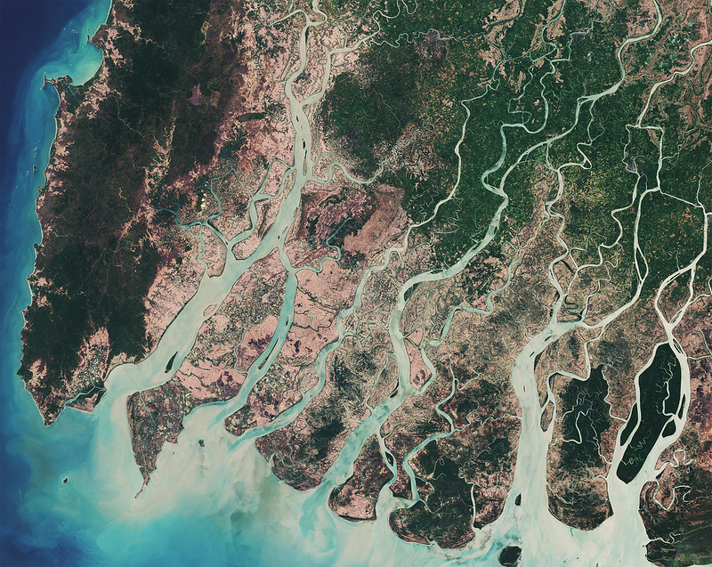
Satellites float above us at heights of up to 36,000km. From their vantage point, they can observe vast tracts of farmland and give us insights that are harder to grasp from ground level. There are three key ways in which satellites can support farmers to make efficient, sustainable choices:
- Mapping – understanding how large areas of land are used for different types of agriculture.
- Measuring – plugging satellite data into complex algorithms to provide measurements on a range of properties, such as yield and crop growth stage.
- Monitoring – over time, images enable scientists and farmers to see how land use has developed, or spot changes in rainfall and drought patterns.
The knowledge gained from these processes can help farmers better understand a range of farming issues, such as: areas in need of more or less irrigation; where their livestock roam; which fertilizer to use, and where; the impact of new weather patterns; and so much more.
Satellite tech is improving efficiency and reducing fertilizer use
We have seen how improving efficiency and refining processes in farming means farmers can run less resource-heavy farms. For example, Polish company SatAgro uses satellite data to drive their app which helps farmers make decisions about how much fertilizer to use on their fields, and how to distribute it. Traditionally, all parts of a field would be treated equally, but data from satellite images is showing the different levels of soil quality and mineral richness. This is good for farmers, who can use their fertilizer more efficiently and reduce costs, but also good for the environment as fertilizers are used more sparingly.
In another example, an agriculture technology company are working with UK start-up DryGro, who are pioneering a more sustainable and environmentally friendly feed crop for cows. Duckweed could produce animal feed protein eight times faster than traditional soybean meal, making it a far more energy efficient feed for livestock. It also uses considerably less water. Satellites are being used to measure moisture levels and ground heat to work out the best conditions in which to grow the duckweed. Reducing the area needed for livestock feed crops would reduce deforestation.
Farmers see benefits, and barriers
This technology is not being used to replace farmers, it is there to help them make more efficient and productive choices. Many farmers report positive benefits from using the tech. UK research found that farmers using the technology noticed reduced costs and increased quality and volume of output. However, poor internet coverage, inability to afford the set-up costs of apps and services, and a lack of technological knowhow among farm workers have all been cited as barriers to uptake. This will be even more of a challenge in the developing world.
Finding ways to improve access to, and knowledge of, these methods can only be a benefit to farms and the environment alike. Precision agriculture such as the use of satellite data could help us create a more sustainable future for agriculture.
The ideas presented in this article aim to inspire adaptation action – they are the views of the author and do not necessarily reflect those of the Global Center on Adaptation.
