We need faster, more accurate wildfire alerts. They’re on the way
New satellite data, coupled with AI and machine learning, could help detect wildfires faster.
M
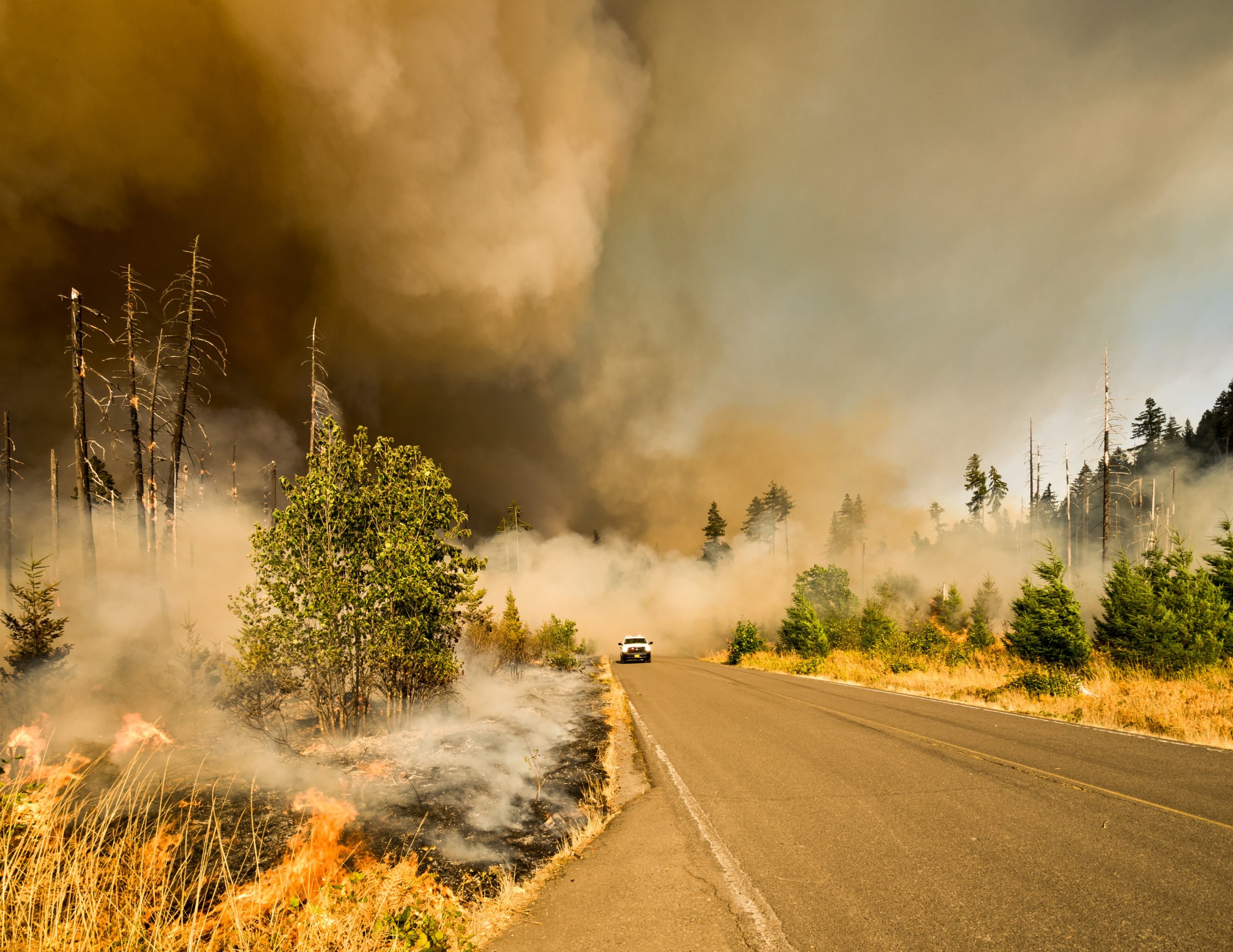
ost wildfires are spotted by humans, via 911 calls, eagle-eyed pilots or a handful of volunteer fire lookouts perched in mountaintop towers. But people can’t cover every inch of dry backcountry in the tinderbox Western United States.
Satellites, however, have a bird’s eye view, and some of them watch the region 24–7. As new satellites come online, and data analytics advances at the speed of — well, wildfire — scientists, state authorities and firefighters are all anticipating that new data and sophisticated algorithms can help spot wildfires early and alert people in harm’s way.
Jeff Chambers, a geologist at the University of California, Berkeley, used data from the satellites Landsat-8, GOES-16 and GOES-17, and layered it onto Google Earth to depict the spread of California’s devastating 2018 Camp Fire, almost in real time.
Landsat-8, which circles the earth every 99 minutes at about 400 miles high, happened to pass over Paradise, CA, just hours after the fire started, capturing a high-resolution image. GOES-16, a weather satellite perched 22,000 miles above the Pacific, captures images of California about every 5 minutes. GOES-17 became operational in February, offering a thermal infrared view of the Western United States that overlaps GOES-16.
With all this data now available to download every few minutes, Chambers envisions an app that could analyze it and deliver wildfire early warnings as easily as weather alerts, detecting fires and anticipating their spread 30 minutes ahead of time, or even earlier.
“At the time of the Camp Fire, we hadn’t yet built the tools to quickly synthesize all these data streams into a single application, but we’re there now,” Chambers said.
Clyde Wheeler, an applied scientist at Descartes Labs in Santa Fe, New Mexico, is also working on a wildfire detector. Wheeler was running with some colleagues in the Sangre de Cristo Mountains outside Santa Fe last spring when they spotted a plume of smoke billowing up from beyond the next rise. That smoke turned out to be the start of the Ute Park fire, which burned for two weeks in 2018 and consumed more than 36,000 acres of New Mexico — one of more than 1,000 major wildfires that year.
“We thought, ‘There’s got to be something we can do to help,’” says Wheeler, whose company is using satellite data and machine learning to build a digital twin of the earth.
Descartes Labs’ detector rapidly analyzes data from GOES-16 and GOES-17, looking for anomalous hotspots that could mark a fire in a 2-square-kilometer patch of earth. In recent live tests, the detector has been spotting fires every 5 minutes across the United States, even those that are just a few acres in size. It sends out an alert within 9 minutes of the image being captured.
Descartes Labs is still refining its algorithms to sort out complications from bright solar panels and cloud cover, as well as the difference between small agricultural fires and wildfires. But Wheeler says the early results have been promising.
“We’ve been surprised with the sheer number of fires that the detector picks up, big and small,” says Wheeler. “I get a text message for every single one of these, so I’m hyper-aware of the current fire conditions across the United States.”
At a conference in Sacramento last spring, innovators gathered together with firefighters, emergency responders, utility companies and government officials to spur more collaboration to meet the wildfire threat.
“We need tools at our fingertips to rapidly and effectively see what’s coming at us, leverage the data analytics, and get what we need to get to make decisions,” said Mark Ghilarducci, the director of California’s emergency response office.
The ideas presented in this article aim to inspire adaptation action – they are the views of the author and do not necessarily reflect those of the Global Center on Adaptation.
