Kisumu’s main natural hazards are flooding, extreme temperatures, and drought. Shoreline floods stem from a rise in Lake Victoria’s level, while riverine floods occur along the main rivers that drain through the city into the lake. Inland floods are mainly caused by Kisumu’s topography, especially its location on a natural floodplain. Flash floods occur in the central business district as well as areas such as Kanyakwar and Bandari.
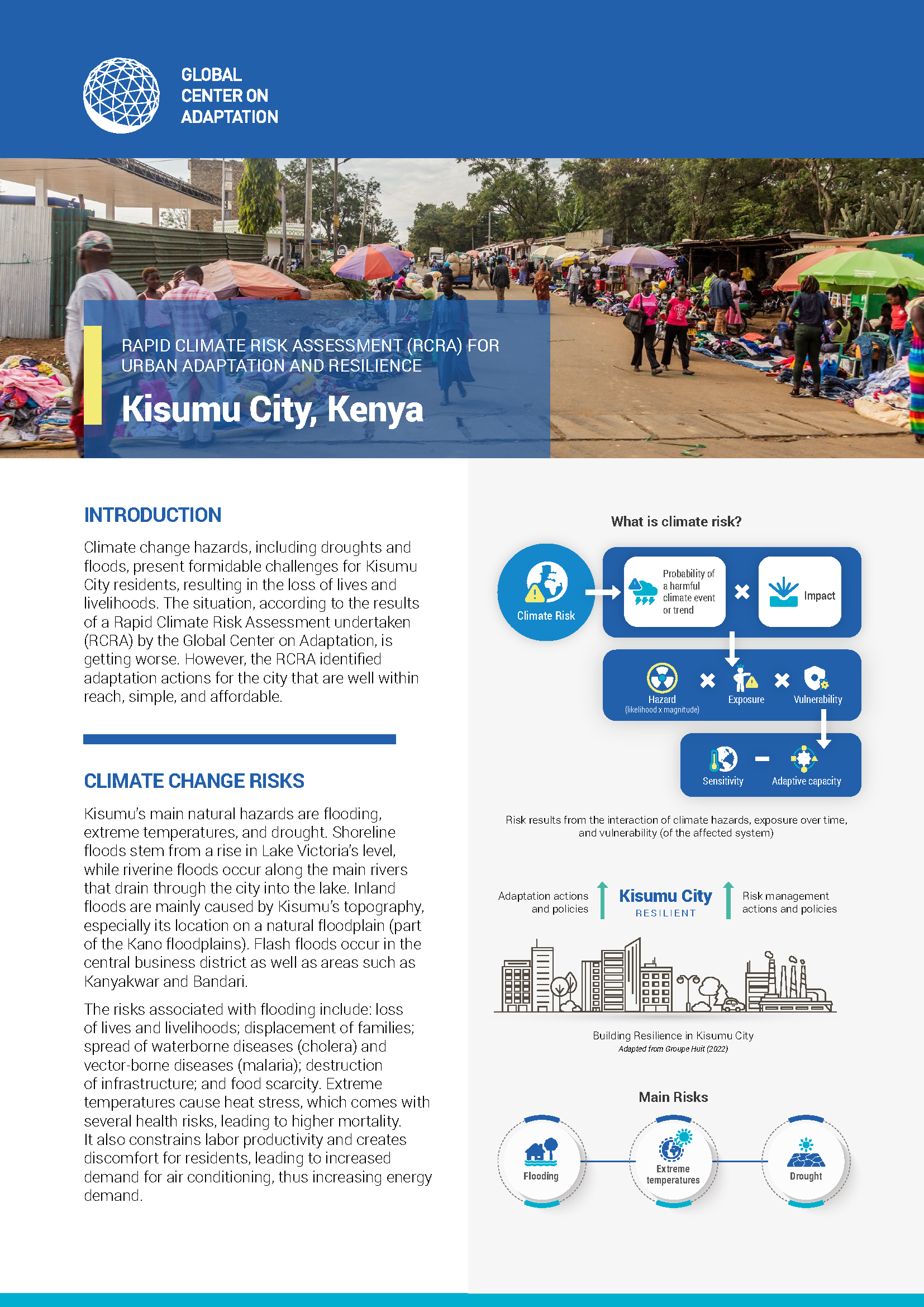
Climate change hazards, including droughts and floods, present formidable challenges for Kisumu City residents, resulting in the loss of lives and livelihoods. The situation, according to the results of a Rapid Climate Risk Assessment undertaken (RCRA) by the Global Center on Adaptation, is getting worse. However, the RCRA identified adaptation actions for the city that are well within reach, simple, and affordable.
GCA reports may be republished in accordance with the Creative Commons Attribution-NonCommercial-NoDerivatives 4.0 International Public License, and in accordance with our Terms of Use.